

A tiny city in the East, Macao once played a vital role in the history of international transportation. It is marked on many ancient maps before the 18th Century, which witness the transformation of Macao.
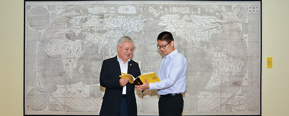
The Library of Macau University of Science and Technology (MUST Library) has gathered many ancient maps related to Macao from all over the world, and showcased the maps collected by the Vatican Apostolic Library two months ago. Another tranche of the ancient maps will be displayed in Sir Robert Ho Tung Library in November.
Ancient maps featuring China before the 18th Century were usually drawn by missionaries, and Macao always assumed a role in these maps.
For instance, the Map of Canton produced by Michel Boym, a Jesuit missionary, delineates Macao Island and its peripheral islands and marks ‘Macao’ with its Chinese name on the map. On the other hand, the Map of Quantung and Fokien drawn by Vincenzo Cornelli, a Franciscan missionary, labels the outside sea area of the Pearl River Delta as ‘Golfo di Macao’.
These maps collected by the Vatican Apostolic Library were exhibited in the MUST Library two months ago. “Of all Asian cities on maps, Beijing and Guangzhou are illustrated at an early stage. Macao is also one of them, showing that Macao was a crucial transportation hub throughout the world in the 16th Century. We hope that the collection of these maps will enhance researchers’ academic works in Macao,” said Dai Longji, the University Librarian of MUST.
These exhibits are high quality replicas. Precise scanned copies of the original ancient maps have to be made before black dots, pencil handwritings or fading colours were imitated without the slightest difference. Also researchers had to select the papers with the texture most similar to the original copy. “To the naked eye, these replicas are indistinguishable to the genuine ones, even if placed together with the originals,’ says Dai.
Members of the MUST Library selected about 1,500 ancient Chinese maps from a total of 3,000 from libraries all around the world. Some of them locate the position of Macao, and some are relevant to the history of it. The Assistant of MUST University Librarian, Yang Xunling says, “We completed advance research and found that some museums have collected relevant maps extensively. Then we discussed the issue, made plans and budgets before an on-site survey. Each survey took us two to three weeks to read hundreds or a thousand maps and we still needed much time to sort out the data after coming back. The project has been conducted for about two years to date.”
The ancient maps displayed in Sir Robert Ho Tung Library are collections from Harvard Library, Bibliothèque Nationale de France, Library of Congress, Stanford University Library and Biblioteca Estense Universitaria. These rare maps demonstrate Macao at its zenith.